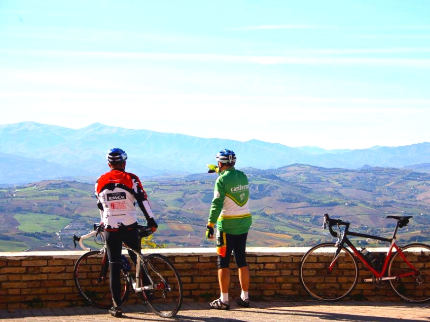
Cycling holidays
L’itinerario si sviluppa lungo strade asfaltate a scarso traffico veicolare, salvo poche eccezioni per gli inevitabili attraversamenti di vie di maggiore comunicazione
Cycling holidays
L’itinerario si sviluppa lungo strade asfaltate a scarso traffico veicolare, salvo poche eccezioni per gli inevitabili attraversamenti di vie di maggiore comunicazione
Cycling holidays
Uno stupendo viaggio… Alcuni legittimi piaceri… Indispensabile tempo e giusta compagnia…
Cycling holidays
From Cupra Marittima we head south and, following the SS16 we pass through Grottammare and San Benedetto del Tronto.
Cycling holidays
Leaving Piazza della Libertà we head north for 190 m, cross the bridge, turn left onto the road along the river Sant'Egidio, via E. Ruzzi.
Cycling holidays
Percorso per allenati e pratici di mtb, caratterizzato da salite non molto impegnative e da alcuni tratti in discesa tecnici, veloci e molto divertenti.
Cycling holidays
Starting from Cupra Marittima and heading north, turn left immediately to take the SP91 Menocchia Valley

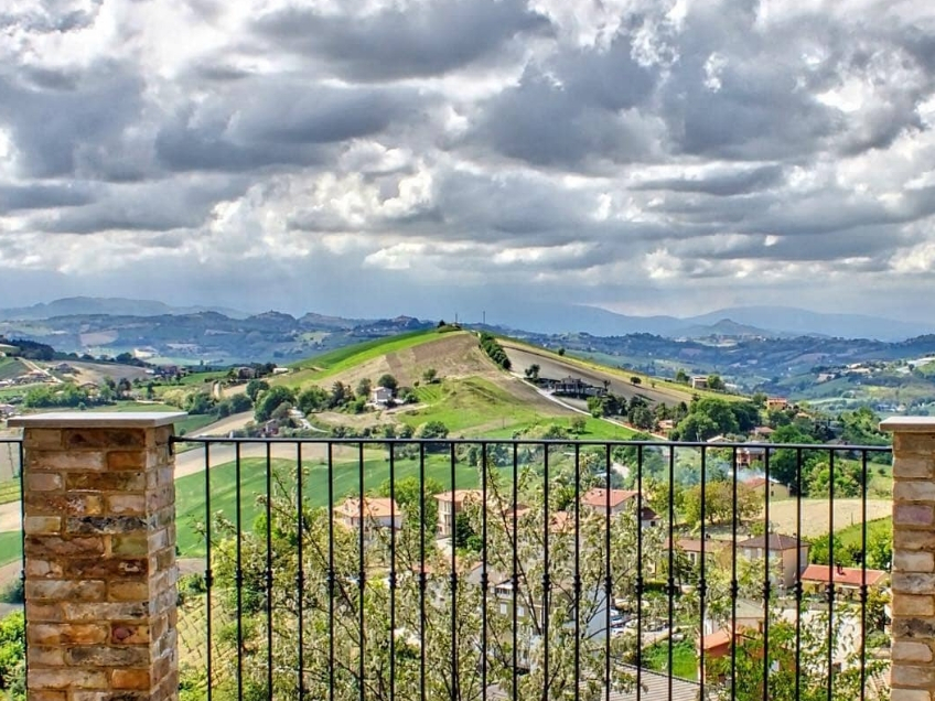
Territory
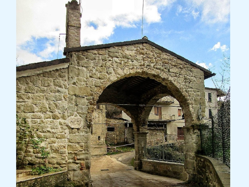
The urban settlement of Force occurred thanks to the populations of the near valleys, that were looking for a safe place in which refuge, to escape the barbaric invasions that devastated the whole area in the V century d.C.

Territory
Offida has won the award as one of the “Most beautiful Italian towns”. The Rocca dominates the town from above: a fortress featuring two cylindrical towers of special beauty.
Territory
Situated about 15 kilometers away from the sea, in the Middle Ages Carassai was called “Castrum Guardiae”, but people used to call it “Carrascale” or “Carnassale”.

Territory
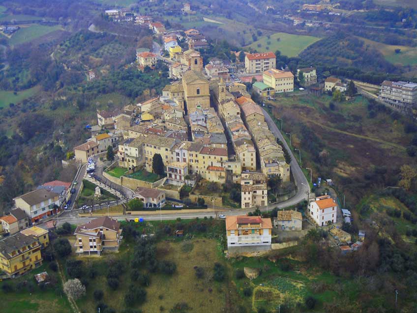
It is believed that the first form of urban settlement that eventually gave rise to the town of Montegiorgio existed since prehistoric times.

for 7 days, three-room apartment (4/6 places) from € 270
for 7 days, three-room apartment (4/6 places) from € 270
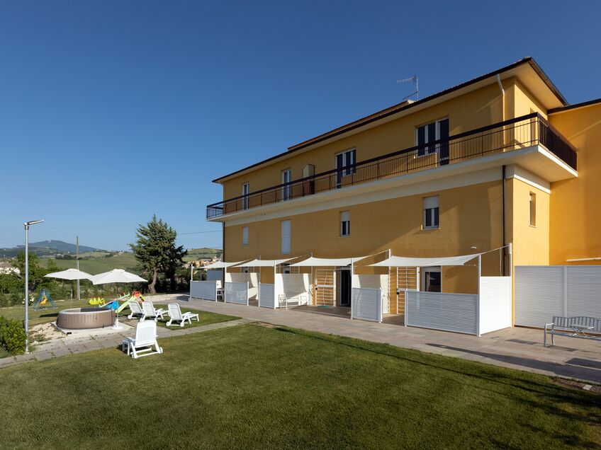
for 7 days, three-room apartment (4/6 places) from € 270
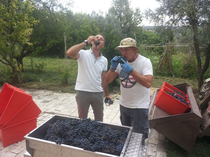
Stay in Villa Marchetti in September and you will be able to participate in the harvest and start making your own wine